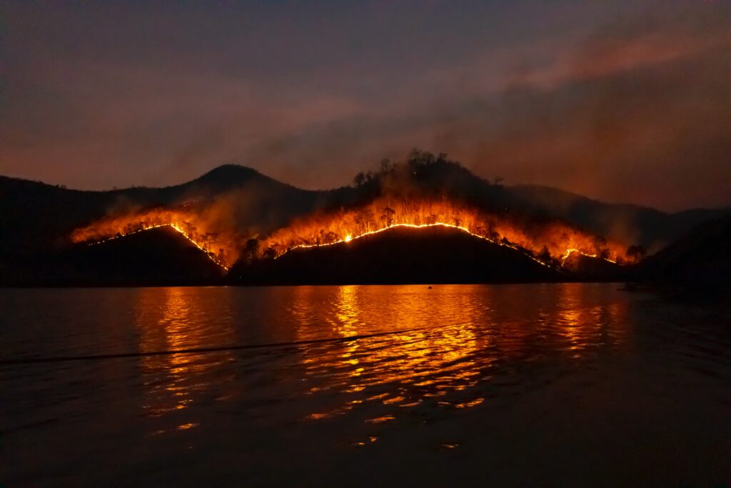
Every summer, when the fires pick up in California, we’re regularly asked where we go for information about the current fire situation. So over the years, we’ve compiled a list of links that help give you a much more informed view of what’s happening in the hills around you.
News:
- Wildfire Today is probably the best source of information regarding Wildland Fires. The sole editor is retired CAL FIRE guy, and he has great contacts, and offers good editorial insight drawing on 30+ years of experience in fire. For example, here’s a link to a running thread of articles related to the 2020 California Lightning Fires.
County Specific Information:
- CAL FIRE San Mateo, Santa Cruz Unit | https://twitter.com/CALFIRECZU
- CAL FIRE Santa Clara, Alameda, Contra Costa, San Joaquin Unit | https://twitter.com/calfireSCU
- Santa Cruz County Sheriff | https://twitter.com/SantaCruzSO1
- San Mateo County Sheriff | https://twitter.com/SMCSheriff
- Contra Costa County Sheriff | https://twitter.com/CoCoSheriff
- Alameda County Sheriff | https://twitter.com/ACSOSheriffs
- San Mateo County Wildfire Response (road closures, fire maps, evacuation center addresses, evacuation zones)
Status Updates:
- National Interagency Fire Center (NIFC) Incident Management Situation Report (aka the Sit Report) (this report is read every morning by every wildland fire crew in the country). It offers a high level overview of all active fires going on. Gives neat stats like how many helicopters are on a fire, how much total suppression costs are, how many fire engines are assigned, etc.
Fire & Weather Maps
- Northern California Geographic Area Coordination Center. Hub for all things related to fire activity in Northern California.
- Northern California Smoke Transport & Stability (answers questions like how smoky will it be tomorrow?)
- Fire & Smoke Map Courtesy of the US Forest Service. Worried about what the air quality is in your neighborhood? These maps shows you all the sensors around you, and what their status is green/yellow/red). It offers a far more precise assessment of the air quality in your neighborhood, and far better than the average of multiple sensors you’ll get on your iPhone).
- 7 Day Fire Weather Forecast for North Ops (NorCal) – Read the notes below the table. Succinctly highlights major weather concerns.
- LightningMaps.org – Free resource. Tracks strikes in real time (close enough at least). When a lightning bust is rolling through, even though it’s a free resource, this is the site firefighters will be monitoring for real time intel on where the ground strikes are.
- Forest Service Satellite Imagery. You can download daily snapshots of a large region like NorCal or SoCal (most images are divided by state lines). Mainly useful to identify high level views of where smoke is drifting. When you see those photos in the News with the title “ALL OF CALIFORNIA IS ON FIRE” and it shows NorCal covered in smoke…this is where they get them (IMO).
- NASA Worldview. Similar to the Forest Service site. I prefer the Forest Service site, but the NASA worldview site offers more filters and layers, and also a “world view” whereas this site offers a literal view of the world.
Evacuation Checklists:
- CAL FIRE Pre-Evacuation Checklist
- CAL FIRE Ready Set Go Brochure (outlines all aspects of the emergency from evacuation to return)
- FEMA’s “How to Prepare for a Wildfire”: